In geo-tagging in asset verification, accuracy depends on one simple question:
Was the asset actually verified at the correct location?
Traditional verification methods often fail to provide reliable proof of this. Geo-tagging addresses this gap by adding location data to each verification activity, improving the overall quality and reliability of audit results.
Geo-tagging in asset verification ensures that each asset is verified with proper location-based evidence.
📌 What is Geo-Tagging in Asset Verification?
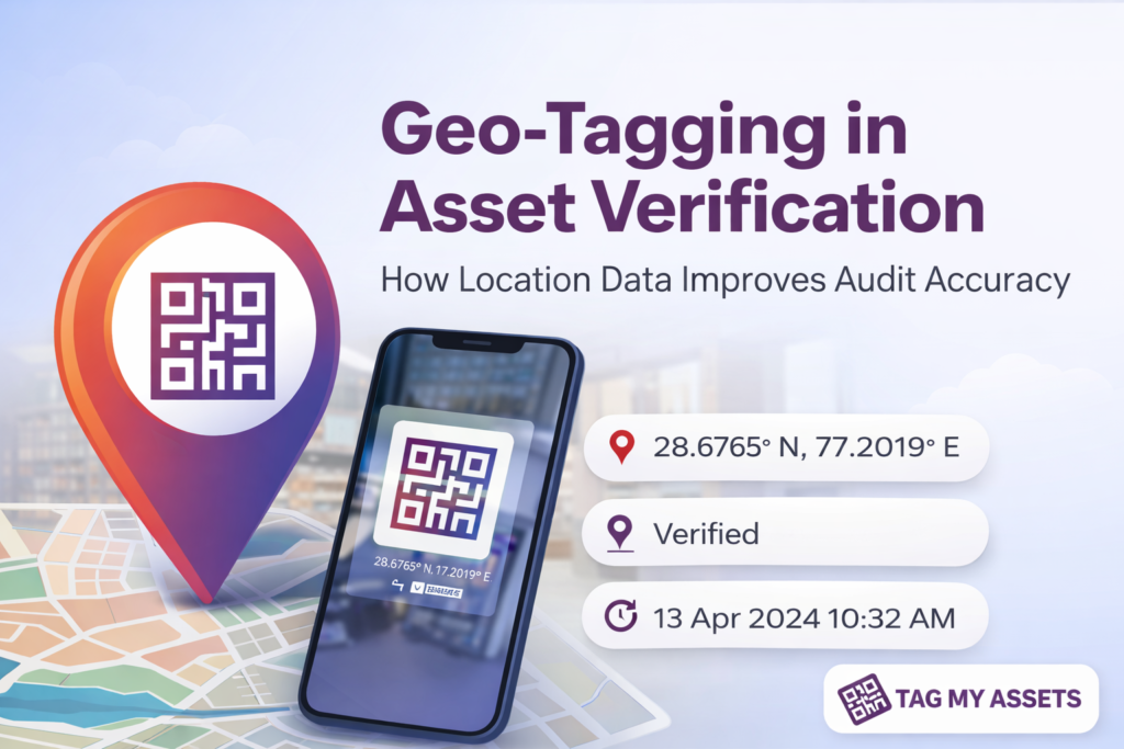
Geo-tagging is the process of capturing the geographical location (latitude and longitude) of an asset at the time of verification.
When an asset is scanned using a mobile application, the system records:
- 📍 Location coordinates
- 🕒 Date and time of verification
- 📸 Asset photograph (if required)
- 🔢 Asset identification (QR / RFID / description)
This creates a location-backed verification record.
⚠️ Limitations of Traditional Asset Verification
In many cases, asset verification is done using:
- Manual checklists
- Excel-based updates
- Physical tagging without digital proof
These methods can lead to:
- Verification without proper evidence
- Incorrect location mapping
- Difficulty in validating audit results
- Challenges in FAR reconciliation
This is why geo-tagging in asset verification is increasingly being adopted by organizations with multiple locations.
✅ How Geo-Tagging Improves Audit Accuracy
1. 📍 Adds Location Proof to Verification
Geo-tagging ensures that each verified asset is linked to a specific physical location at the time of audit.
2. 📊 Improves FAR Mapping
Location data helps in aligning assets with the correct:
- Plant / Site
- Department
- Floor or area
This improves the accuracy of the Fixed Asset Register.
3. 🔍 Helps Identify Location Mismatches
Assets recorded in one location but found elsewhere can be easily identified during verification.
4. 📸 Strengthens Audit Documentation
When combined with photos and timestamps, geo-tagging provides supporting evidence for audit reports.
5. 🧾 Supports Audit and Compliance Requirements
Geo-tagged records can be used as part of documentation during:
- Internal audits
- Statutory audits
- Physical verification reporting
6. ⚙️ Improves Accountability in Field Execution
Since location is captured automatically during scanning, it reduces dependency on manual inputs and improves reliability of field data.
🚫 What Geo-Tagging Does Not Do
It is important to clarify that geo-tagging:
- Does not provide real-time tracking
- Does not continuously monitor asset movement
- Captures location only at the time of verification
🏭 Practical Use Case
In multi-location organizations, geo-tagging helps ensure that:
- Assets are verified at the correct site
- Location discrepancies are identified during audit
- Reports are supported with verifiable data
🧠 Role of Geo-Tagging in Asset Verification Systems
Geo-tagging is most effective when used along with:
- QR or RFID-based asset identification
- Mobile-based data capture
- Structured asset hierarchy (location mapping)
It enhances the quality of verification data, rather than replacing other systems.
Accurate asset records and verification processes are essential for compliance with regulatory requirements governed by the Ministry of Corporate Affairs (MCA).
How TagMyAssets Helps Organizations
TagMyAssets helps organizations improve the accuracy and reliability of their asset records by combining physical verification with digital data capture. Through its mobile-based system, on-site teams can tag assets using QR/RFID, capture photographs, and record geo-tagged location data at the time of verification. This ensures that asset information is properly documented and aligned with actual site conditions. As a result, organizations benefit from better FAR accuracy, reduced manual errors, easier reconciliation, and stronger audit documentation, making asset management more structured and dependable across multiple locations.
📢 Conclusion
Geo-tagging is a practical addition to asset verification processes. It improves audit accuracy by ensuring that each verification is supported by location-based evidence.
While it does not provide real-time tracking, it plays an important role in making asset verification more reliable, transparent, and audit-ready.
Geo-tagged verification records can support documentation requirements during audits as guided by standards issued by the Institute of Chartered Accountants of India (ICAI).
❓ FAQ
Q1. What is geo-tagging in asset verification?
It is the process of capturing location data of an asset at the time of verification.
Q2. Does geo-tagging provide real-time tracking?
No, it only records location at the time of scanning or verification.
Q3. Why is geo-tagging useful in audits?
It provides location-based evidence, improving the reliability of verification reports.
Q4. Can geo-tagging work offline?
Yes, data can be captured offline and synced later, depending on the system used.
